Map of The Province of Main
You can embiggen HERE and scroll around <<<<
Map of "His Majesty's Province of New Hampshire" <<< embiggen and scroll around
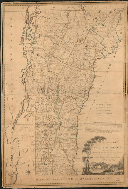
Vermont, click here to embiggen and scroll around <<<<
Rabbit Hole......
You can get lost in the map aisle of the Library of Congress here <<<<


The only one I could make bigger was the first one. I noticed a lot of Town names from England.
ReplyDeleteWhen the same government that lies 24/7 is the "protector" of so much "information," one has to wonder just how much is being altered while in their possession, all to rewrite history and paint government in a good light. Orwell pretty much had it nailed.
ReplyDeleteDo they have regular ferry service to the map isle? Asking for a friend who's a weak swimmer.
ReplyDeleteI added the "a" ferry for easier travels.
DeleteThankee, the boy was worried, he's a cartophile and an aquaphobe both, which can be awkward at family gatherings.
DeleteA thought occurred to me: how the states that today call themselves "New England" have become so similar to modern day England...
ReplyDeleteNH is trying to hold its own against the Massholes though. The Free State Project is something that none of the rest would ever have been selected for.
Delete